 |
| Boardwalk across the marsh |
Stats
Distance: 0.25 miles Difficulty: Easy Time: 15 min
Summary
We stopped at the Kenai National Wildlife Refuge ranger station, located on Ski Hill Rd in Soldatna to see if they had hiking maps or other useful information about the hiking in the Kenai National Wildlife Refuge. The refuge is enormous, covering most of the northern Kenai Peninsula, but only a relatively small part actually has maintained trails. The ranger station has a variety of activities for children and adults, but there are only 3 short trails at this location.
Opinion
If you are looking for information on parts of this refuge we haven't covered yet, stop here! The people at this ranger station were a wealth of information! They helped us find a variety of short hikes ranging from a few hours to a day. Moreover, when we expressed and interest in kayaking, they pointed out the best lakes for kayaking contained within the refuge. They also warned us off of a few; apparently they suffer from high winds and wind driven waves as high as 4 feet or more.
The trails near this ranger station are pleasant and wind through the spruce and cottonwood forest. We took the shortest, a quarter-mile trail to the lake, because were were short on time that day.
Trail Advice
This trail has the usual voracious mosquitoes during summer and has little shade. We strongly recommend a good coating of both sunscreen and mosquito repellent.
Suitability
The trails around the Visitors Center is suitable for all ages, but not wheelchairs. These trails are often used for children's educational programs.
Trailhead
To find the ranger station:
- From Homer: Take Sterling Hwy north. Turn right on Ski Hill Rd (across from Sky View High School). Follow the gravel road about a mile and watch for the signs for the Visitors Center. The turn will be to the right.
- From the north: Just before you exit Soldatna, turn left on Funny River Rd. Turn right about one block later onto Ski Hill Rd. Follow the gravel road about 1 mile and watch for the signs for the Visitors Center. The turn will be on the left.
The Visitor Center
We were in Soldatna shopping for things we can't get in Homer. Were weren't in the mood to hike (too busy), but we'd been passing a National Refuge sign for months and were curious. So, that day, we decided to drive the road and see what we found. What we found was a visitor center with very helpful rangers and support staff.
After a quick look around their displays we struck up a conversation with a ranger and the lady manning the information desk. We asked them about the day hike trails in the refuge. We got lots of suggestions and you will be seeing posts about them over the next few weeks. At the time we visited, spring was just beginning and the hikes would have been barren and brown. Now the Kenai has exploded with life and we are just waiting for good weather to start hiking the recommended trails.
We also asked about kayaking. They warned us away from Skilak Lake and Tustamena Lake. Although they look very promising, it turns out they are not safe for small craft (even motorized ones). When the wind picks up--and it does virtually every day--waves on the lake can get over 4 ft in height. They also advised against Engineer Lake. It isn't as dangerous as the other two, but suffers from high wind and waves as well.
The Hike
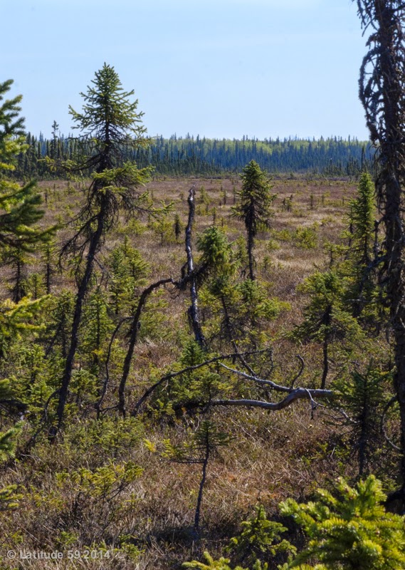 |
| Marshland |
After we finished chatting with the rangers, we decided to walk the shortest of the trails to stretch our legs. The hike is very short and pleasant. It winds down a hill to the lake behind the ranger station. Most of the trail is through a spruce forest rich with spruce, cottonwood, birch, moss, and lichen. At the end it lets out on a marsh where a boardwalk takes you to the lake.
I wouldn't go out of my way to do this hike, but if I were stopping at the Visitors Center for information, I would definitely take a break from driving on this trail.
The Funny River Fire
 |
Smoke heading south on
Sterling Highway |
 |
| Smoke from the Funny River fire |
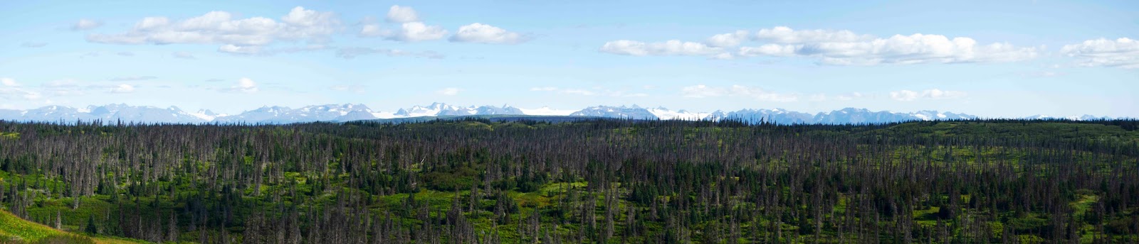
People considering hiking in the Kenai National Wildlife Refuge might be concerned about the effects of the Funny River Fire. We've crosschecked the maps against the fire and, large as it was, the fire was to the south of the trails. In fact, most of the area burned was true wilderness. However, if you are planning to hike in the Cooper Landing region or near this Visitor Center, I would recommend waiting until the fire is fully controlled.


